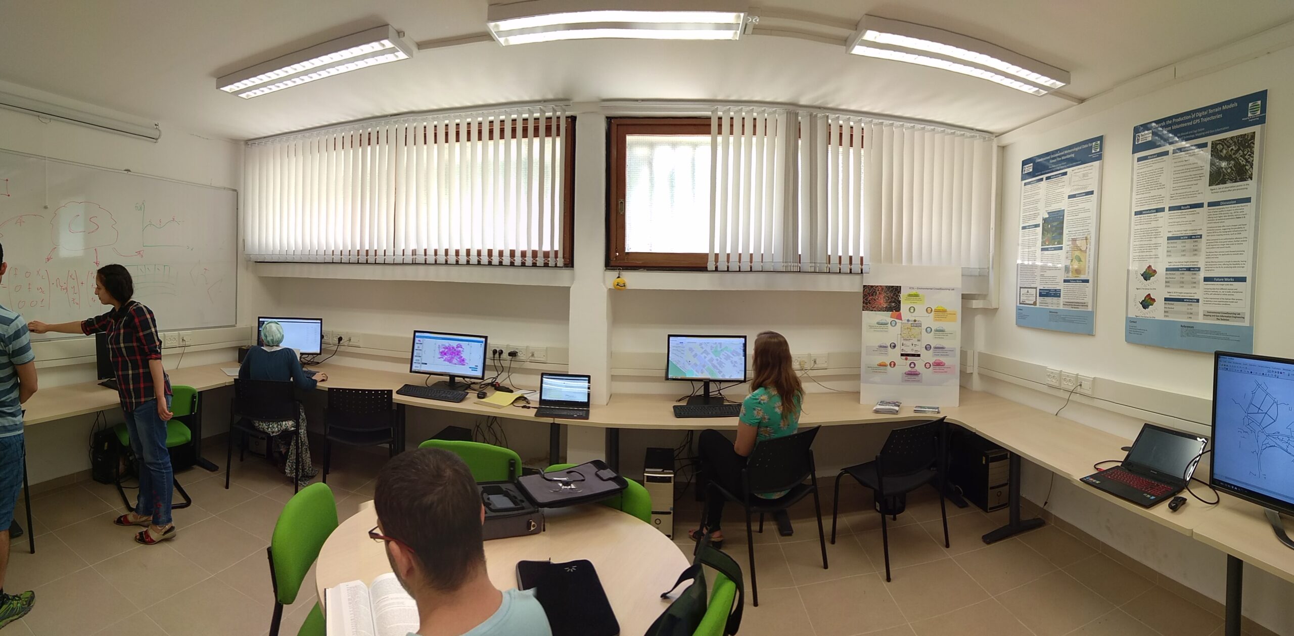
The ECsL is designed to handle the processing and visualization of big-geodata, serving as a central knowledge-base for interdisciplinary researches.
The lab is equipped with tailored hardware and software, as follows:
- 6 workstations, equipped with 3D, GIS and urban modeling software (ArcGIS, QGIS, SketchUp Pro)
- Smart portable/mobile devices (tablets and smartphones)
- Tobii Pro Glasses 2 Wearable Eye Tracker
- Tobii Eye Tracking Core Software
- Leica GS08plus kinematic geodetic GPS receiver
- Distributed file-system management architecture Hadoop and MapReduce
- DJI PHANTOM 4PRO photogrammetric Unmanned Aerial Vehicle (UAV)
