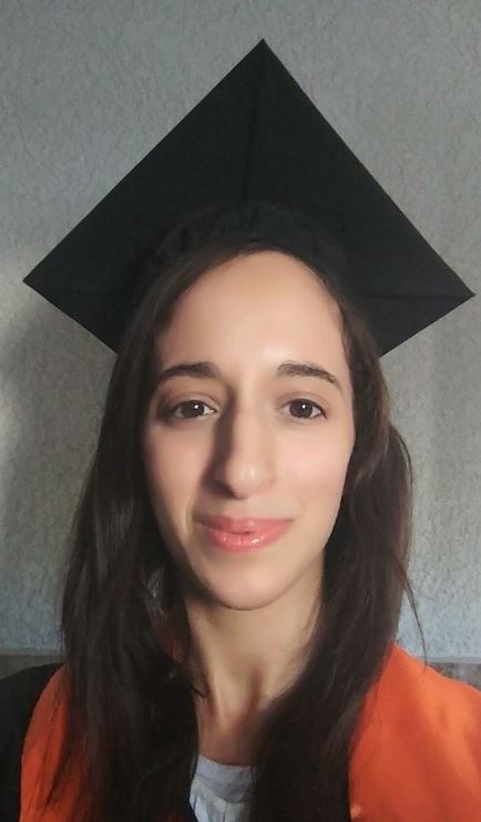
Ruba Jaljolie
Short bio:
I am a last year PhD student at The Technion – Institute of Technology at the Department of Geo-information and Mapping Engineering. I am conducting a research on multi-dimensional land management systems (MLMS) under the supervision of Assistant Prof. Sagi Dalyot and Prof. Yerach Doytsher. My research aims to investigate and develop algorithms, models, and processes for expanding existing 2D land management systems into MLMS (including the dimensions of height, time and Level of details). Theoretical and conceptual aspects are also part of my research, in which I try to scientifically understand the perspective of diverse stakeholders and experts who may use LMS, as well as mapping their requirements and expectations from the LMS in order to fit the technical development for their purposes. In addition, I investigate the ethical dilemmas related to data collection and the integration of VGI in MLMS.
Postdoctoral Research interests:
Multi-Dimensional and Multi-Purpose Land Management systems, 5D Cadastre, Land law and economy, Spatial data and functionalities, Topology Data Structure, Systematic analysis of processes.
Publications:
Jaljolie, Ruba, Kirsikka Riekkinen, and Sagi Dalyot, 2021. “A topological-based approach for determining spatial relationships of complex volumetric parcels in land administration systems“. Land Use Policy 109: 105637.
Jaljolie Ruba and Sagi Dalyot. “Multi-Dimensional Land Management Systems: A Delphi Study of the Expert Community.” FIG Working (from home) Week, May 10-14, 2020, Amsterdam.
Jaljolie Ruba and Sagi Dalyot. “Formalizing a multi-dimensional land management system: the stakeholders’ perspective.” 3D GeoInfo, September 23-27, 2019, Singapore.
Jaljolie Ruba, Doytsher Yerach and Dalyot Sagi. “An Applicative Approach for Cadastral Processes Implementation in Multi-Dimensional Land Management Systems”. Land and Poverty Conference 2019: Catalyzing Innovation March 25-29, 2019, Washington, DC.
Jaljolie Ruba, Doytsher Yerach ,Riekkinen Kirsikka and Dalyot Sagi. “An Applicative Approach for Spatial Relationships Determination of 3D Volumetric Parcels in 3D Cadastral Systems.” 3D GeoInfo, October 1-2, 2018, Delft, The Netherlands.
Jaljolie, Ruba, Peter van Oosterom, and Sagi Dalyot. “Spatial Data Structure and Functionalities for 3D Land Management System Implementation: Israel Case Study.“ ISPRS International Journal of Geo-Information 7.1 (2018): 10.
Jaljolie Ruba, Doytsher Yerach and Dalyot Sagi. “Systematic analysis of functionalities for the Israeli 3D cadastre.” 5th International FIG 3D Cadastre Workshop 18-20 October 2016, Athens, Greece.

